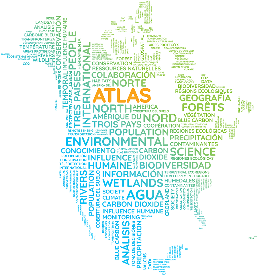
North American Environmental Atlas
The North American Environmental Atlas is an interactive tool that integrates geospatial data from Canada, Mexico, and the United States to reveal environmental connections across borders. By harmonizing map layers, it allows users to analyze shared ecosystems, track continental trends, and identify areas needing protection. The Atlas supports cross-border collaboration, informs policy, and has been cited in over a thousand publications. It is a valuable resource for understanding and safeguarding North America’s environment.